The ocean covers around 71% of the Earth’s surface. It essentially supports all life, including our breathing air, food, weather and climate. Yet 95% of our world ocean is unknown.
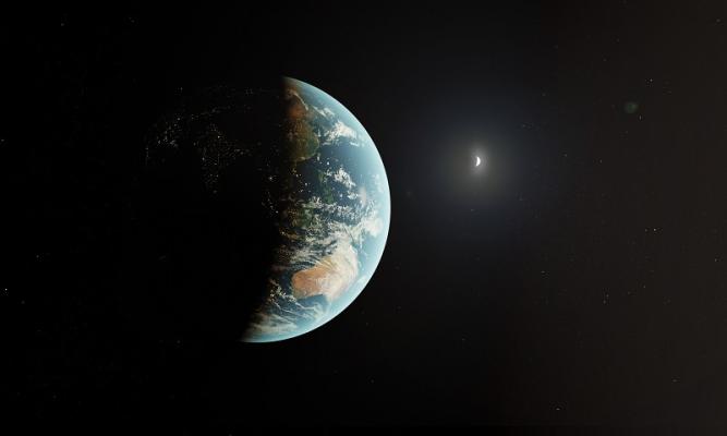
Satellites help us observe and monitor our water and oceans from the vantage point of space. It offers unique perspectives and solutions for all kinds of challenges on Earth essential to our survival.
Advanced satellite imagery is often combined with Earth-based in-situ sensors and measurements to provide accurate data to scientists. Satellites play a critical role in understanding the impact of ocean-related events and trends.

Here are several examples of how space technology protects our oceans and water:
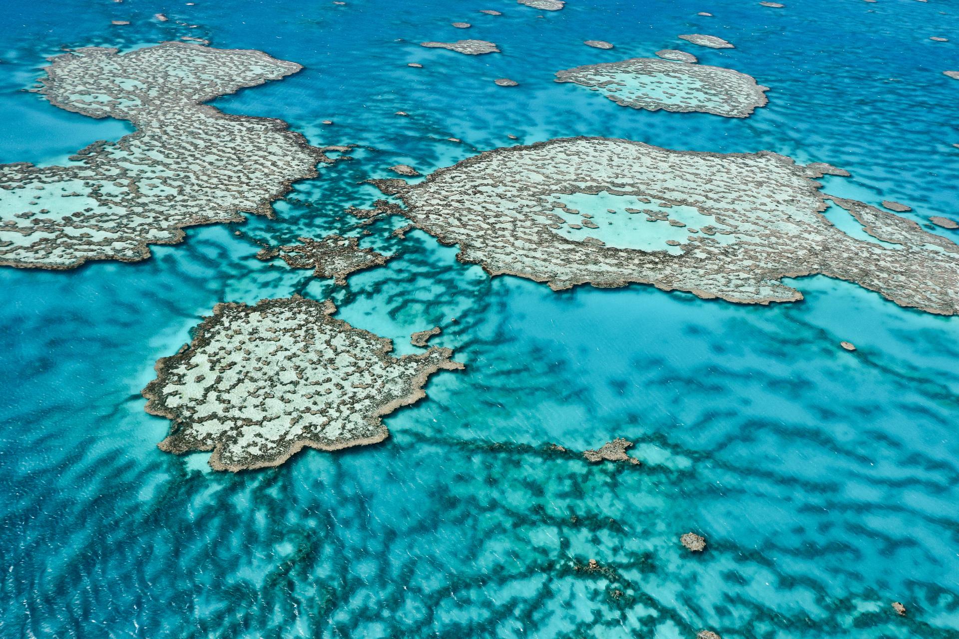
Earth observation satellites allow us to monitor critical changes in sea level, ocean currents, sea ice and heat storage, which affect our climate. Coral reef health and marine habitats can be threatened by changes in ocean temperature.
Satellite imagery can be used to create atmospheric models to forecast individual storms, cyclones, floods, and drought. Coastal areas are generally highly populated, and satellite imagery can help predict and manage the disastrous impact of severe weather conditions.
Information provided by satellites helps us understand, respond to, and mitigate several types of ocean crises from large amounts of plastic waste and oil spills, through to earthquakes and tsunamis. Satellites also help authorities monitor illegal activities including shipping, fishing and trafficking, which supports law and order.
Infra-red imaging from satellites is used to generate accurate maps of ocean currents and winds for navigation purposes. These timely maps can be used for optimising routes for all vessels, from recreational yachts all the way up to large commercial ships. Space also offers connectivity solutions to these vessels while they are at sea.
Satellite data identifies ocean eddies (whirlpools), which can be used to track organism growth, behaviour of fish and the movement of marine mammals, such as whales and seals. These insights help protect the marine food web from disruption, such as overfishing. Additionally, marine animals, such as manatees and turtles, can be fitted with transmitters that relay their location information to satellites.
Offshore oil operations, cable-laying vessels and the maritime economy is subject to negative impacts from strong ocean currents. Satellites provide connectivity to these offshore assets and collect important data about water circulation patterns to assist planning and operations.
Case study: AquaWatch by CSIRO
Water is our most important resource for life on Earth. Timely water quality data on a continental scale is essential to maintain safe and healthy waterways for people, ecosystems and industries. This is the premise behind CSIRO’s AquaWatch Australia system, which brings together ground-based and satellite technologies to effectively monitor and predict ‘water quality’, both on the coast and inland.
Specifically, ‘water quality’ refers to the condition of water, including chemical, physical and biological make-up of creeks, rivers, lakes and oceans. An example of a threat to water quality is algal blooms, which can release harmful toxins that endanger aquatic ecosystems. AquaWatch’s satellite monitoring can enable near-real time updates and early detection of threats to marine life and help preserve biodiversity.
Measuring, mapping, and monitoring water quality has applications for:
- coastal wetlands
- utility water storage
- river systems
- shoreline erosion
- aquaculture farms
- riparian vegetation
- terrestrial and aquatic biodiversity
- mine sites
- mangroves
- coral reef environments.

Caption: satellite image of sediment and carbon flood Fitzroy river to the Great Barrier Reef from Sentinel 2. Credit: European Space Agency
Data is collected from imaging sensors (advanced cameras) located on Earth observation satellites as well as across Australia. This data, captured in near-real time, is used to map the water quality properties and monitor changes to the environment. It’s analysed at a central data hub operated by CSIRO. Predictive modelling and AI can forecast conditions for the next few days, supporting early detection of issues.
CSIRO’s AquaWatch service is intended to benefit primary industries, while also preserving natural environments and supporting people's access to safe water. It’s tailored to meet the specific needs of Australia. AquaWatch involves collaboration between several partners, including foundation partner, Smartsat CRC, and various scientific and industrial research organisations.
Additionally, the AquaWatch technology will be piloted across the UK to help safeguard freshwater and coastal resources.
Related Content:

Why Space Matters
Learn how space matters in our everyday lives – from keeping us healthy to inspiring us to go beyond the boundaries of what we think is possible.

Homegrown AgTech using space to benefit farmers
Australia’s economy and our way of living is becoming more reliant on space –and this is opening significant opportunities for agriculture.

Exploring space with Australian resources ingenuity
The Australian technology used in mining and resources has more crossover into space exploration and science than you may think.
