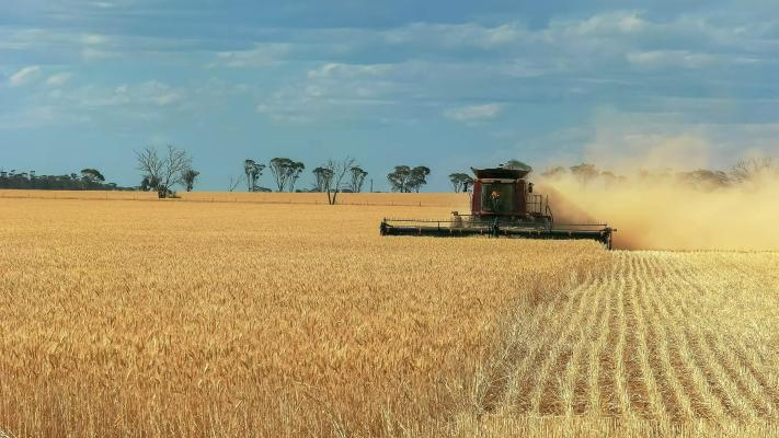
Australia’s economy and our way of living is becoming more reliant on space –and this is opening significant opportunities for agriculture.
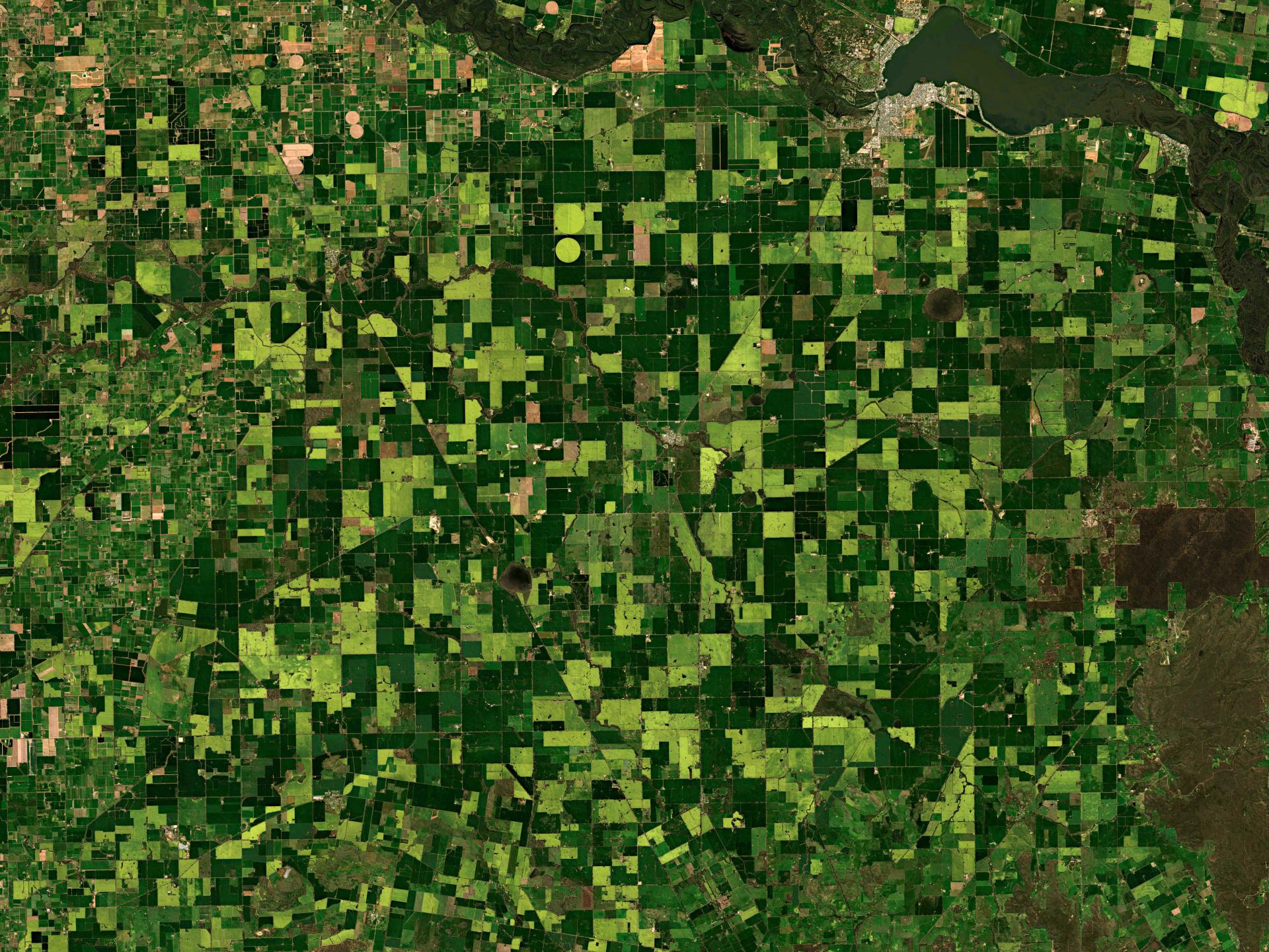
Agriculture accounts for over half of Australia’s land. However, around 60 per cent of agricultural production in Australia has not adopted space enabled technologies for precision planting and controlled farming.
A growing number of space services and cutting-edge technologies are available to Australian farmers to assist them with daily tasks. The current generation of AgTech assists farmers with financial systems, weather prediction, understanding our climate, communications, navigation and more.

Infrared and microwave satellite imagery provides rainfall estimations and weather prediction models. AI can assess risk factors for regions, helping farmers plan for extreme conditions.
AI can predict crop yields based on historical, weather and soil data, along with data collected from satellites. This can assist farmers with planting and harvesting schedules.
Tractors and machinery can be equipped with sensors and use satellites to create detailed maps of farms and calculate optimal routes. This optimises use of fertilisers, pesticides, and fuel.
Space technology provides spatial information to assess water productivity and evapotranspiration. This can help farmers avoid over or under irrigation, saving costs on water.
Satellite images are analysed with AI to quickly identify diseases, pests or invasive species in crops. Early detection can prevent further spread and the need for excessive chemical treatments.
Spectral analysis of high-resolution satellite images can track the growth and positive or negative performance of different fields and crops in real time.
Case study: Myriota
South Australian based company Myriota is a satellite IoT (Internet of Things) network provider. They have developed an innovative module that can be integrated with a scalable monitoring solution. It connects directly to their secure nanosatellite network, enabling IoT data at low cost and low power usage for a range of industries. In an agricultural context, their technology can monitor:
- tank level and volume
- pump flow
- asset location
- logistics
- rain gauges
- fire detection
- smart meters
- gas tanks
- underground bores
Water pump/tank monitoring and maintenance
Myriota, together with partner Grundfos, is providing the Solar Connect monitoring solution for livestock farmers. It uses Myriota’s direct-to-satellite connectivity, instead of cellular infrastructure. The solution can save significant costs and hundreds of hours spent in water pump and tank monitoring and maintenance.
Sam Ryder, Area Managing Director - Water Utility at Grundfos Australia says this technology assists primary producers in managing their water infrastructure, including the pumping system power array and water tank, in hard-to-reach locations.
“Our customers are able to monitor their water assets regularly and receive notifications should the need arise. Solar connect… removes the need for manual checks of water assets often in remote locations… and helps improve overall productivity and operational efficiency,” he says.
Satellite-enabled smart water metering
Myriota, together with partner Taggle Systems, is providing a seamless and efficient satellite water management solution for the water industry and farmers managing large remote properties.
Taggle Systems is using digital water metering to collect data from remote locations. This data is transmitted through Myriota’s satellite network. It enables water utilities and councils to monitor water consumption in outlying water meters and rural pipelines. These may be situated in remote areas that are challenging to access due to hard-to-reach terrain or lack of coverage via traditional communication networks.
Remote areas and rural properties are prone to water leaks, which is mostly due to animals damaging water infrastructure. On large properties it can be difficult to detect the leaks in a timely manner to minimise disruption. Water consumption data frequently collected through this satellite-based solution can help with rapidly identifying water loss. This is particularly important in regions prone to drought and dependent on water conservation.


Why Space matters

