Earth observation and communications satellites provide a range of critical capabilities for Australia’s emergency services.
Satellite communications are always the next port of call when Earth-based infrastructure, such as wireless data networks, is disrupted or over capacity. This is why satellites orbiting safely out of harm’s way, hundreds and thousands of kilometres above, are essential to emergency operations on Earth.
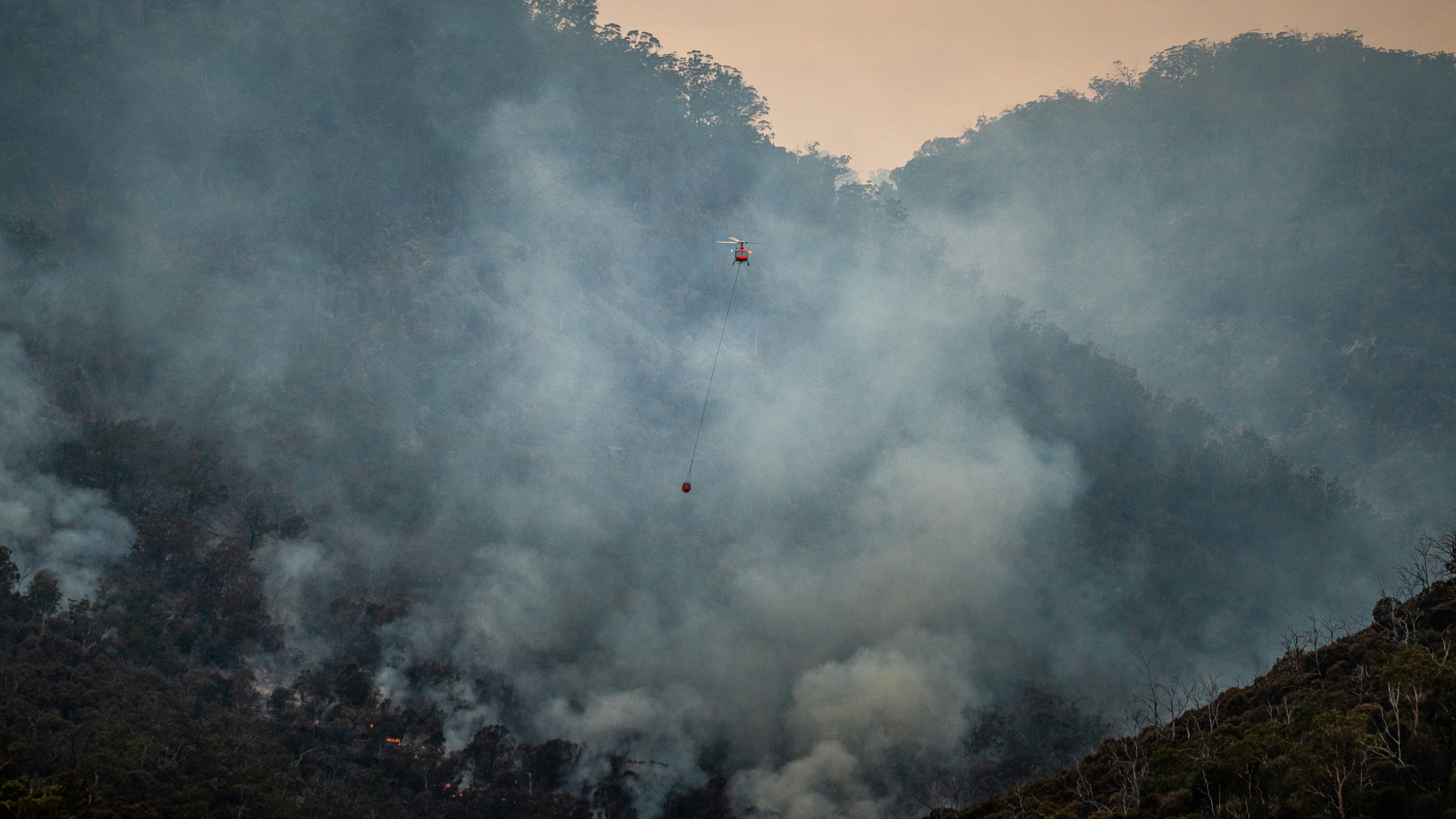
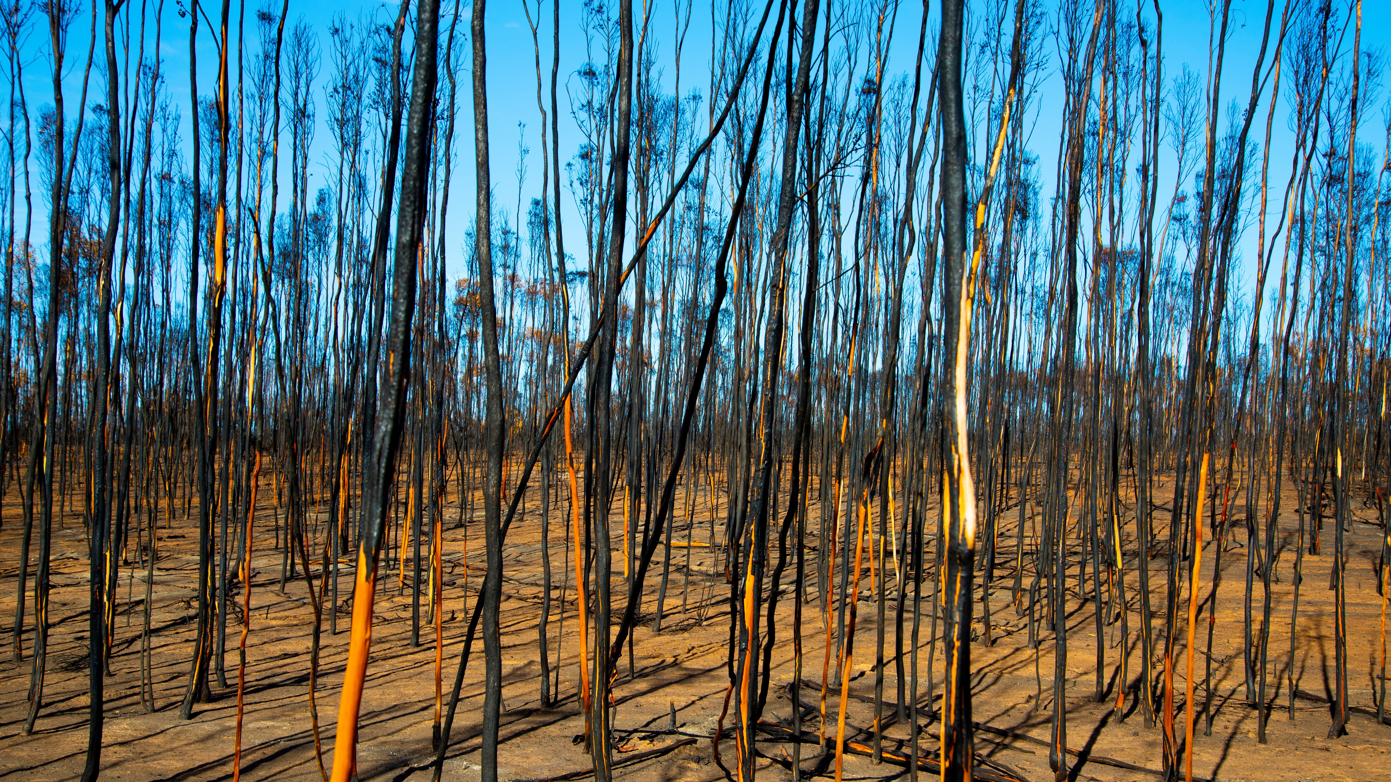
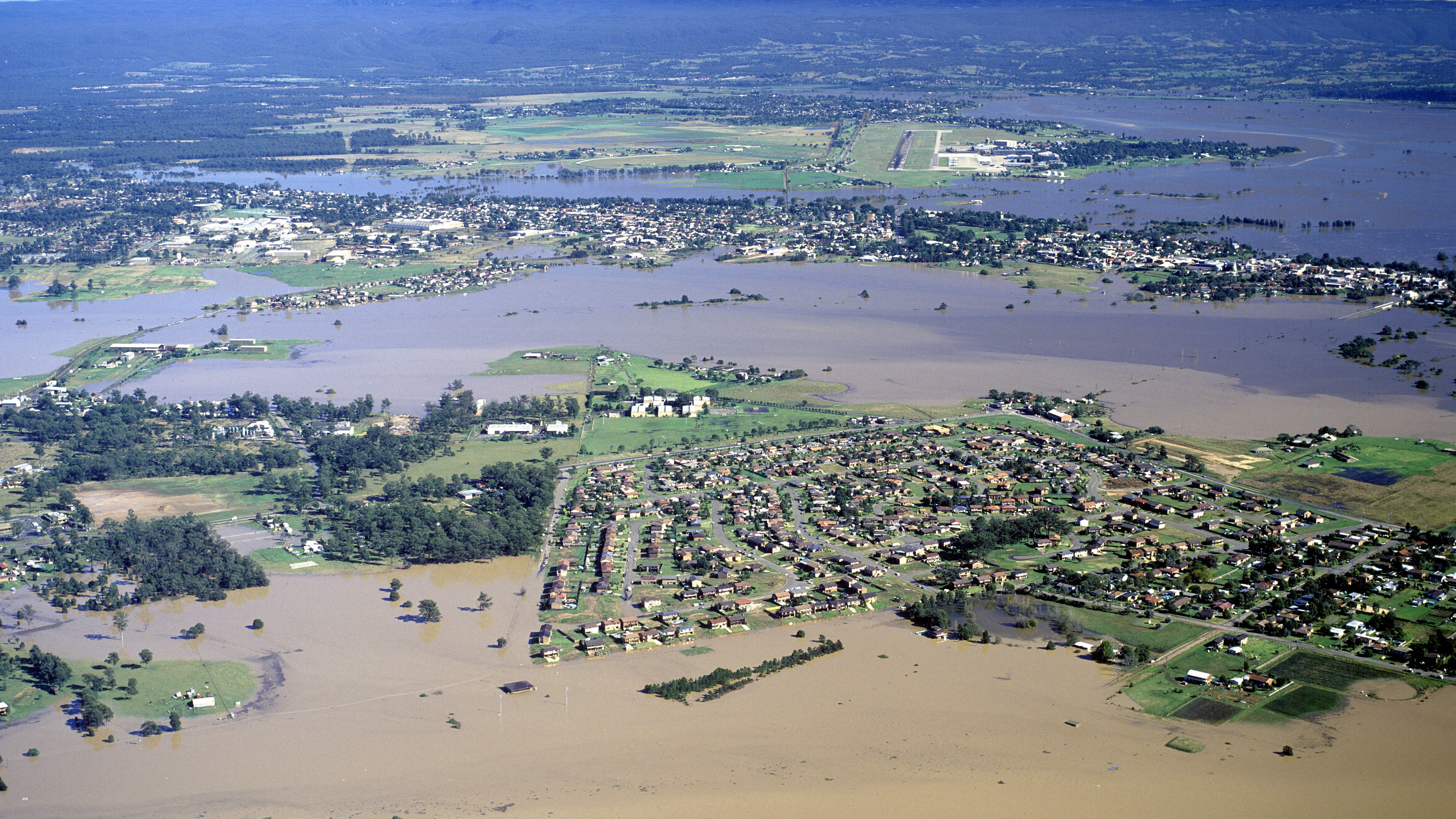
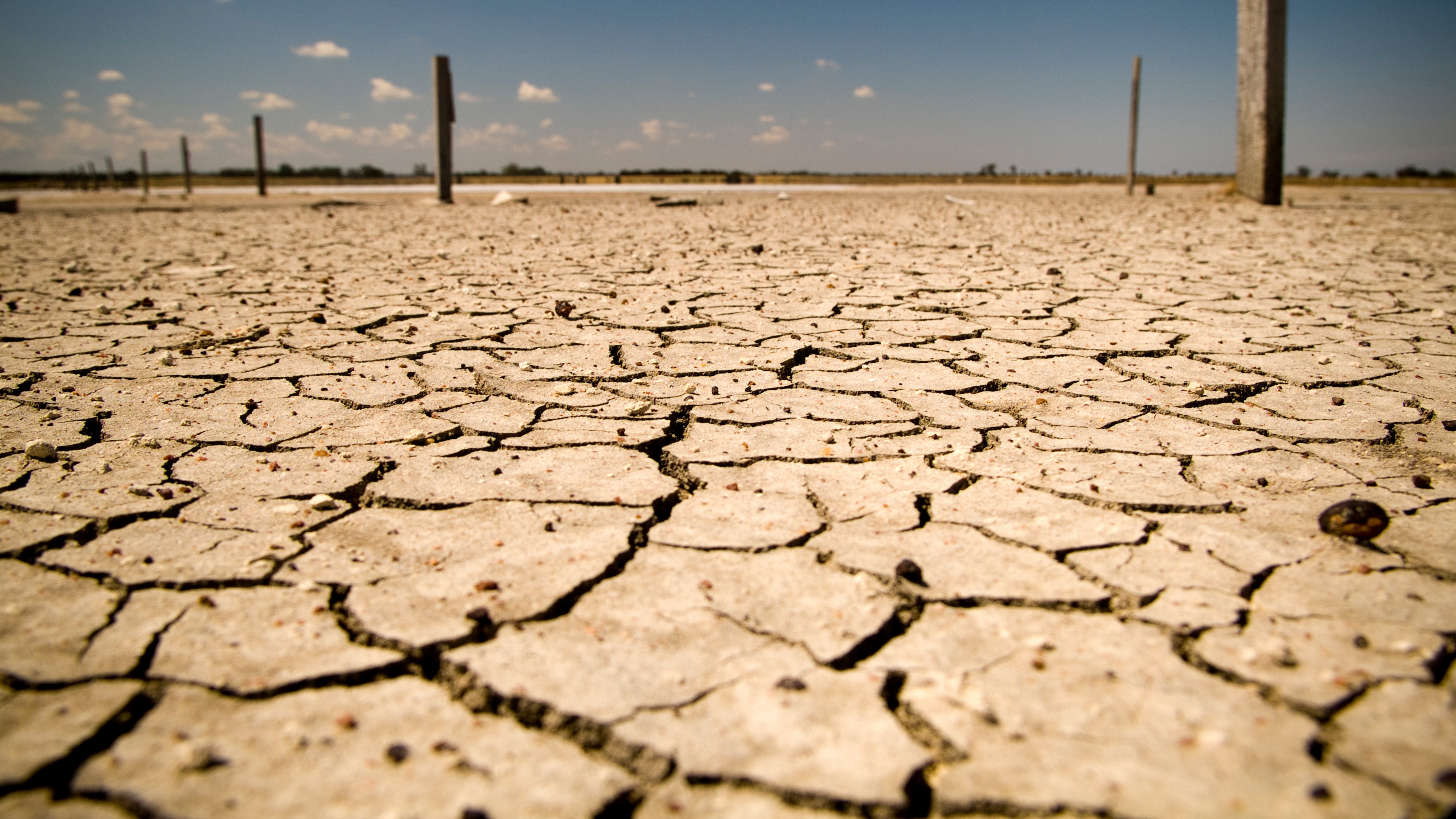
Earth Observation satellites are like ‘eyes in the sky’ for emergency operations. They provide data and imaging to help predict extreme weather and catastrophic events. This vital information is used to inform rapid response to natural disasters such as bushfires, floods, droughts and more.
Here are several examples of how space technology helps our emergency services:
ACCESS, developed by CSIRO and the Bureau of Meteorology, provides accurate weather forecasting using satellites. The data can be used to predict catastrophic fires, heatwaves, floods and cyclones, and provide early warnings to emergency management agencies.
During fires, the NBN Co’s Sky Muster satellites provide fire service depots and evacuation service centres with reliable connectivity across Australia. While these depots already have fixed line services, satellites provide a back-up option for emergency personnel if these lines are severed or flooded. Communications satellites also help rural communities stay in touch with news and evacuation announcements in times of crisis.
Traditional networks are limited by blind spots in Earth-based infrastructure, such as the lack of cellular towers.
Satellites help bridge the coverage gaps found in vast oceans, mountainous areas, the remote outback and the desert. They enable emergency services workers to receive timely and accurate exchanges of information. In Western Australia, for example, only 26 per cent of the state has mobile phone or radio coverage. Low earth orbit satellites are providing high speed internet and real-time emergency alerts to WA police officers across vast regional areas.
Australian emergency managers can quickly access Earth observation imagery and vital information from satellite data operators across the world.
The imagery is obtained through the European Union’s Copernicus Emergency Management System (CEMS) and the United States Geological Survey’s (USGS) global Landsat International Cooperator Network. These services are coordinated by Geoscience Australia, on behalf of Emergency Management Australia and state-based emergency services.
A distress beacon can emit a signal detectable by Cospas-Sarsat – the international search and rescue satellite system. The nearest ground station is notified when Cospas-Sarsat hears the signal.
The satellite system is always listening and can relay that distress call to local emergency services. This is particularly useful when it’s not possible to contact emergency services by phone or radio.
Geoscience Australia’s Digital Earth Australia (DEA) Waterbodies product will help aerial firefighters understand where water is available on the ground. Satellites provide information on over 300,000 Australian waterbodies and how they have varied within the last 30 years.
DEA Waterbodies also supports aerial firefighting by clarifying when the satellites last saw water and provides an estimate of the surface area of available water. This technology is also useful for informing decisions about droughts and farming.
Regular healthcare services can be overwhelmed, or even compromised, in the aftermath of a disaster.
When medical resources are scarce, satellite internet can provide connectivity between emergency medical teams and individuals when help is needed. . Satellite internet also enables telehealth operations so that individuals can be medically assessed or prescriptions can be renewed remotely.
Case study: Digital Earth Australia Hotspots by Geoscience Australia
Digital Earth Australia (DEA) Hotspots, managed by Geoscience Australia, is a national fire monitoring system that can see unusual temperature “hotspots”. The system was originally developed in collaboration with three Government agencies – in response to the devastating fires that swept through New South Wales and ACT in 2001. Since then, DEA Hotspots has improved significantly.
It was particularly helpful in identifying risks during the 2019-2020 Black Summer bushfires, and the platform continues to evolve. Geoscience Australia is continually looking for new sources of data and improved algorithms. As new satellites carrying new instruments in their payloads come online they help advance DEA Hotspots’ accuracy and processing abilities.
How does DEA Hotspots work?
Hotspot data over Australia is collected 24 hours a day by 6 different satellites. Some collect data 2-4 times a day, whereas Himawari-9, a geostationary Japanese weather satellite, collects data every 10 minutes.
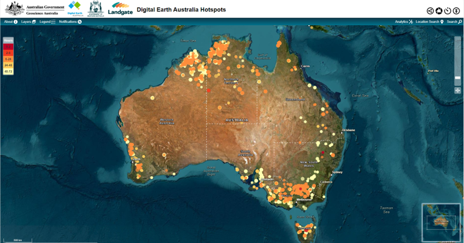
Satellite sensors detect areas with high levels of infrared radiation. These “hotspots” could be sparked by abnormally high heat from industry, smoke plumes or bushfires, for example. The data is relayed to ground stations, and then sent for processing. The processed data is pushed to DEA Hotspots for viewing. It is used to identify potential fire locations and threats to communities.
The hotspots appear on a digital map of Australia as dots. These dots are coloured in shades of yellow and orange through to red – the latter represents the most recent hotspots observed by a passing satellite. The larger dots show high confidence in the algorithm detecting that hotspot.
How do emergency services use DEA Hotspots?
DEA Hotspots can be viewed online and is updated up to every 10 minutes. While satellites don’t detect every single fire in real time, the technology is helpful for providing insights into the possible location and progression of fire. The information is publicly available and assists emergency services in planning quicker responses to bushfires. However, DEA Hotspots should never be used for safety of life decisions.
The data and web services from DEA Hotspots informs situational awareness to monitor and manage assets such as electrical infrastructure and transmission lines.There is redundancy built into the system, ensuring it remains reliable at times of increased user demand. This is paramount during disaster response when large numbers of users are accessing the system simultaneously.

Why Space Matters
Learn how space matters in our everyday lives – from keeping us healthy to inspiring us to go beyond the boundaries of what we think is possible.

