Earth observation is a national priority area under the Australian Civil Space Strategy.
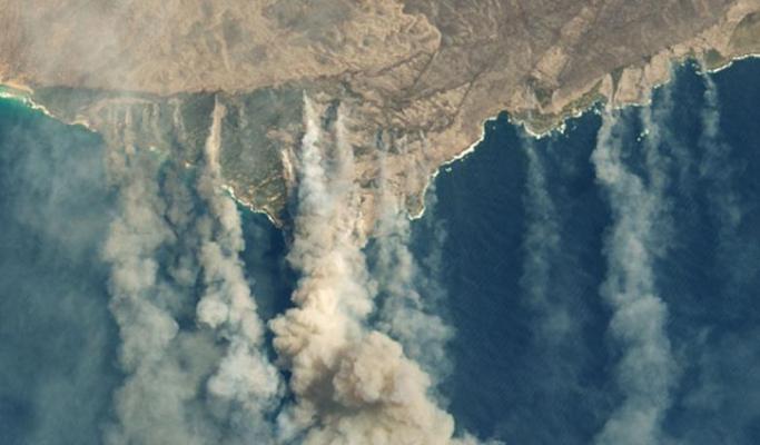
Satellite based Earth observation systems support Australians through emergency management activities. This includes preparing for bushfires.
Satellite imagery supports bushfire readiness through:
- the lead-up to a fire season
- weather forecasting
- warnings during a fire
- monitoring the recovery in the aftermath of a fire
After the devastating bushfire season of 2019-2020, the Australian Space Agency led the establishment of a Bushfire Earth Observation Taskforce. Partners on the taskforce included CSIRO, Geoscience Australia and the Bureau of Meteorology.
The Taskforce examined the decisions required to undertake bushfire risk management. It then analysed the satellite imagery data needed to support those decisions.
Head of the Australian Space Agency Dr Megan Clark AC said further partnerships with international satellite operators would complement Australia’s growing capability in the field.
“Building on existing partnerships with the likes of Japan for geostationary weather satellites will assist with streamlining data systems and help ensure access to satellite Earth observation data,” Dr Clark said.
“We also have the opportunity to work with industry to develop new satellite imagery capabilities, including collaboration on future platforms, to secure access to data, address data gaps and support the global Earth observation system.”
The Royal Commission into National Natural Disaster Arrangements considered this report. This includes future space based opportunities to support bushfire readiness.

